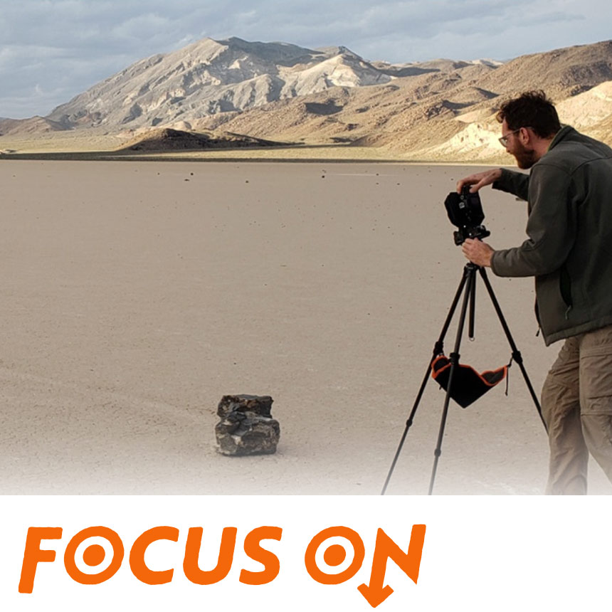
Tyler W. Green
I start with a question or feeling about the environment, then study data like maps and satellite images. I go into the field with my camera — sometimes using materials like wildfire charcoal — and create images that combine data with personal observation, helping people see and feel environmental changes.